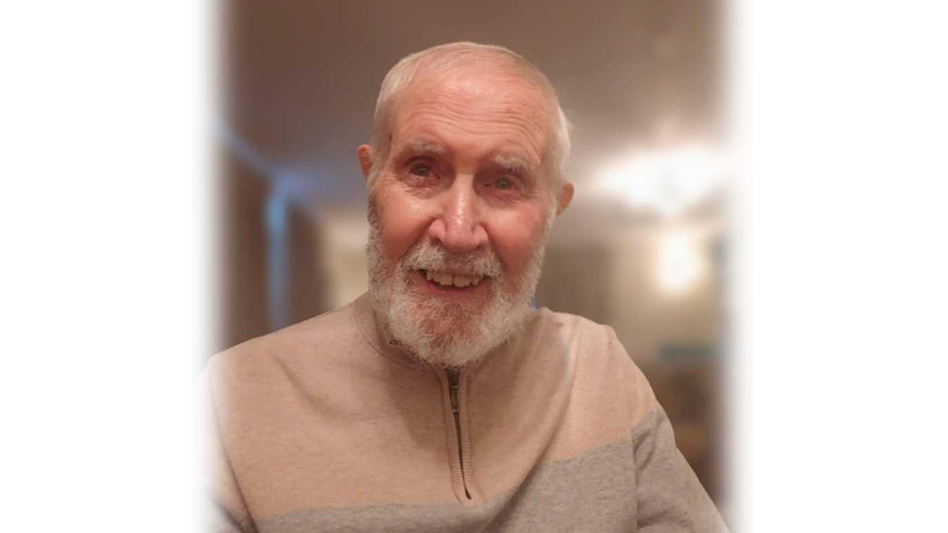
We are pleased to announce our colleague Dr Varyl Thorndycraft has been awarded Chartered Geographer (GIS) status for his research and teaching using geospatial data and GIS technologies.

Varyl is Senior Lecturer in Physical Geography and has taught a number of geomorphology, remote sensing and GIS modules in his 18 years in the department.

This CGeog (GIS) recognition in part reflects Varyl’s shaping of the GIS curriculum here at RHUL Geography. Currently Varyl teaches introductory GIS to 1st year students using pollution of the River Wye as a case study. Introducing more advanced techniques in 2nd and 3rd year, other practicals include quantifying: a) glacier change using remotely sensed satellite imagery; b) deforestation in Brazil using satellite derived land-cover data; and c) seasonal snow cover change using LiDAR.

Varyl will be teaching a new third year module in 2024/25 called GIS and the Planetary Crisis where, in addition to documenting the planetary crisis through GIS analysis of remotely sensed data, he will provide examples of how GIS and geospatial data can be used to develop solutions to help empower students in their future work.


